Schilt summit route

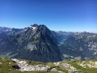
From the Naturfreundehaus Fronalp via Schilt and Tristli to Rotärd and Äugsten. A beautiful, varied mountain hike with impressive views of depths and distances.
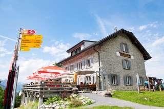
From the Naturfreundehaus Fronalp, you ascend via a gravel road to Mittelstafel – once there, the path branches off to the right and bypasses the enclosed pasture. Then the path zigzags upward and becomes somewhat flatter towards Färiboden until the junction with the path from Fronalppass. The path then leads slightly ascending through the flank of the Siwellen to the summit of Schilt.
From Schilt, a short path leads to Tristli ahead – the detour is especially worth it due to an impressive valley view of the Lintthal and the Linth plain.
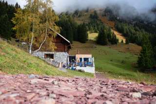
The descent then leads back down via Schilt to the Rotärd pass, which lives up to its name with its red earth. The path then zigzags down to Alp Beglingen and via Schwibödeli to Äugsten.
On the terrace of the Äugsten cabin, you can end the hiking day with a great panoramic view of the Glarus hinterland. After a short walk from the cabin to the mountain station Bärenboden, the almost 1000 meters of altitude down to Ennenda can be comfortably overcome by cable car.
Those who are not done after the hike can also tackle the descent to Ennenda from Bärenboden.
Additional info
| Duration | 4 hours 40 minutes |